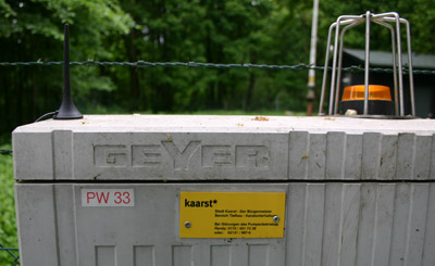
This beacon was on our 2008 list. Unfortunately we had to skip this beacon because we run out of time. The beacon is not that far from Mönchengladbach airport and that made it easy to put it on our 2009 list.
Route from Kreuz Kaarst to DY, ca. 8km – 10 min.
We came from the south to Kreuz Kaarst and took exit 17 onto the A52 direction Mönchengladbach.
At the A52 we took after ca 2.5 km exit 12 -Kaarst-Nord direction Osterath/Kaarst.
At the crossing keep left and follow the signs for Meerbusch-Osterath and turn left onto the Osterather Strasse.
After 300 metres turn right onto the Badendonker Strasse/L30.
After 2 km (300 metres after the railway bridge) turn right onto the Broicherseite.
Beware, along this road you find a driving school (inexperienced drivers) and some stud farms (horse riders).
Drive at low speed.
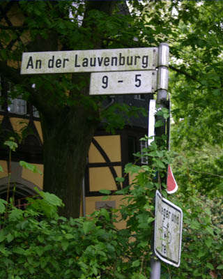
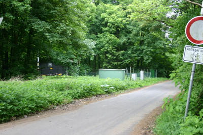
After 800 metres you will pass a railway and 200 metres further on you turn left into the “An der Lauvenburg.”
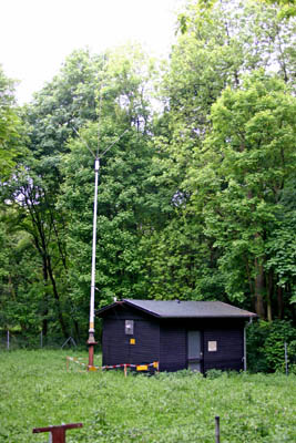
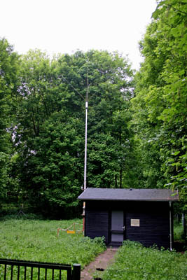
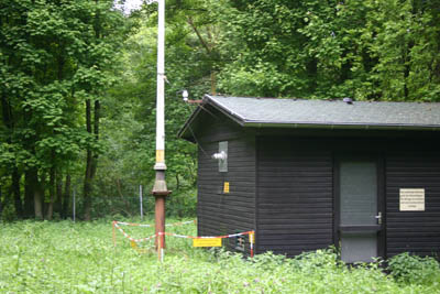
Just after a few metres you will find the beacon at the LHS.
For users of navigation equipment: Some systems let you follow the L30 for another 500 metres and then turn left. Wim and I had that experience. Strangely this route is blocked by a gate. Google Earth’s route system gives also this blocked route.