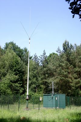
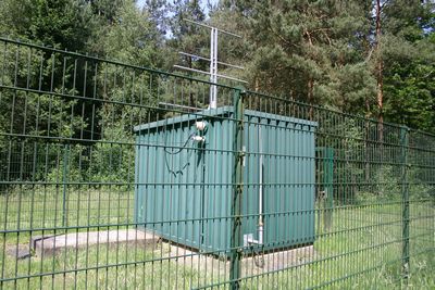
This is the west LOM beacon of the airfield Münster.
We did spend a lot of time to find this beacon.
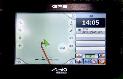
Even with the use of a navigation system.
And Google Earth also wanted to send us along a road that wasn’t open for the public.
What is the problem?
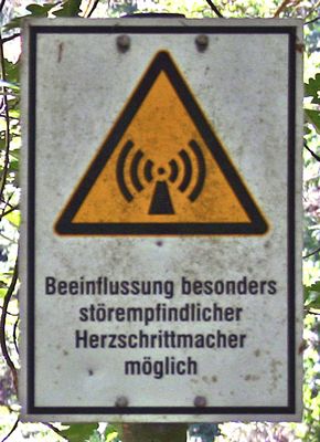
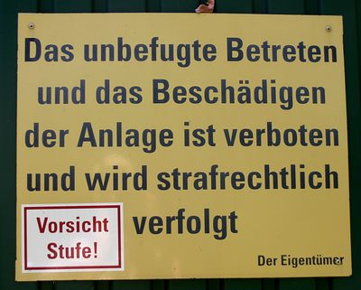
Near to the beacon there is a farm with (so stated at some signs) special kinds of farm animals.
There are lots of signs that are stating that no public is allowed to enter the farm terrains.
And the navigator was bringing us every time to that particular farm.
Our way to solve this problem: we told the system we where on foot.
That did mark out a new route, only for cyclists and walkers,
but also for cars who needed to be at houses along this road.
Here after you find a way to come at this beacon.
This beacon was switched of. What did we hear? Well, listen to this recording.
Route from Greven:
Start in north-west direction to the Königstraße/L555.
Easy bent to the left at Königstraße/L555, after 0.4 km further onto the L555.
Take at the roundabout the 1st exit on to the B219/Münsterdamm.
Go further on the B219. After 04 km go left at L555, 0.6 km further turn right onto Emsdettener Straße/K53.
The Emsdettener Straße runs along a railway (RHS).
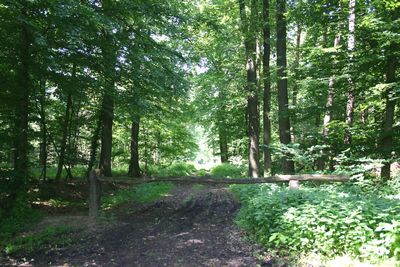
After ca. 2.5 km the road bents to the left and there is the side of a forest.
Along this side there runs a path, pssible not useble for cars.
Follow this 800 m and you will come at a crossing of paths.
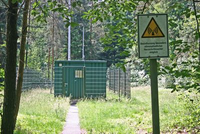
Take here the path going sharp to the right (see photo)
and after ca. 200 m the beacon is at the LHS of the path over a small bridge.